


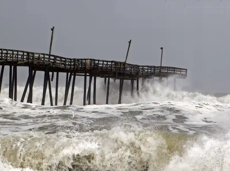


Tropical Storm Lee is currently gaining strength in the Atlantic Ocean and is on track to potentially become the strongest storm of the 2023 season, tying Hurricane Franklin with wind speeds of up to 150 miles per hour. According to the US National Hurricane Center, Lee is expected to develop into a hurricane later today and then rapidly intensify, reaching Category 4 on the Saffir-Simpson scale within the next four days.
This year's Atlantic storm season has been more active than usual, with Lee being the 13th storm of the season, including an unnamed system in January. Typically, the 13th storm arrives around October 25th, but Lee has exceeded this timeline. The third hurricane of the season is typically observed by September 7th, and the third major hurricane, with winds of 111 mph or more, arrives by October 28th. However, Lee's rapid intensification can be attributed to record warm water temperatures in the Atlantic, providing ample fuel for storm development.
While Lee is currently a powerful storm, it is fortunately projected to remain away from inhabited areas as it continues to move northwestward over the ocean in the next five days. Nevertheless, Bermuda is advised to stay vigilant and monitor the storm's progress.
In addition to Lee, there are two other potential storm systems developing in the Atlantic, indicating the continued activity in the region. Meanwhile, Hurricane Jova in the Pacific is also strengthening, although it remains far off the coast of Mexico.
Continuing westwards, Tropical Storm Yun-yeung poses a potential threat to Japan's east coast later this week. Authorities have issued warnings for heavy rain and possible landslides in the region. It is crucial for residents in the affected areas to stay informed and follow local advisories to ensure their safety.
Overall, the Atlantic and Pacific storm seasons are showing no signs of slowing down, urging people in vulnerable locations to remain prepared and vigilant in the face of these powerful weather events.