


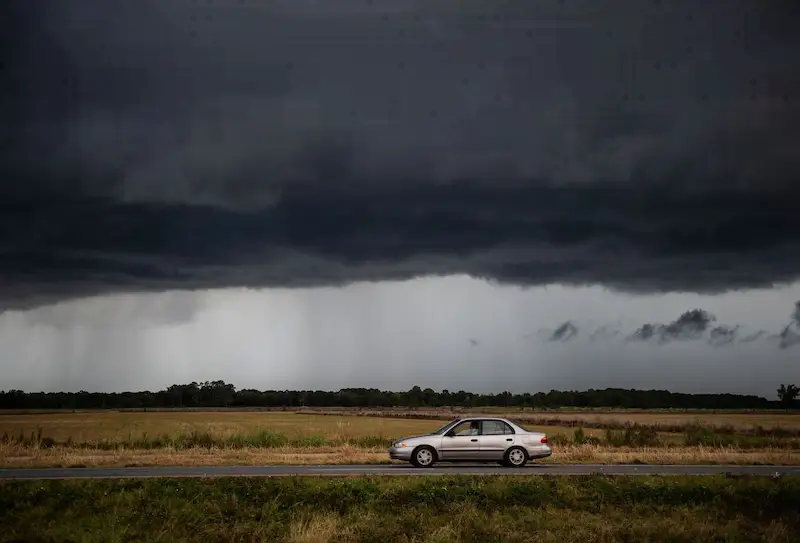


A relentless deluge of rain has inundated vast areas of eastern-central Texas and northwestern Louisiana, leaving residents and emergency services on high alert. With rainfall exceeding six inches (15.2 cm), the torrential downpours have triggered widespread flooding and prompted flood warnings and watches across the affected regions. The National Weather Service reports that the heavy rain is now spreading into Mississippi and parts of the Southeastern United States.
As the rain continues to pour, residents are being urged to exercise caution and remain vigilant. The incessant downpours have already led to significant water accumulation, causing rivers to swell beyond their banks and inundating low-lying areas. In addition to flooding, forecasters have also warned of treacherous road conditions and the potential for mudslides as the saturated soil becomes increasingly unstable.
Not limited to the Southern states, the extreme weather conditions are exacerbating visibility issues as dense fog blanketing at least 29 states from Colorado to western New York has been reported. While foggy conditions are expected to clear as temperatures rise, the heavy rain persists, intensifying concerns over potential flash floods and further disruptions.
Looking ahead, weather experts predict that next week will bring an unprecedented and alarming surge in temperatures across the eastern United States. These temperature increases are projected to be 20F to 30F degrees above normal and may pose additional challenges for the already saturated regions. Thursday's forecast predicts temperatures of 52F (11C) in New York City and 60F in Washington, D.C., unusual for this time of year.
Moreover, authorities and meteorological services are closely monitoring another weather phenomenon with potential implications for the West Coast. An atmospheric river, known for bringing sustained periods of precipitation, is slated to reach Northern California and adjacent areas in the coming week. The US Climate Prediction Center warns of a 70% chance of above-normal rainfall across California and western Nevada from January 30 to February 3.
Meanwhile, on the other side of the globe, Australia is grappling with its own weather-related challenges. Severe Tropical Cyclone Kirrily, the most significant weather system to impact the Queensland coast in almost five years, has made landfall. Crossing near Townsville as a Category 3 system, Kirrily has brought destructive winds with gusts of up to 170 kilometers (106 miles) per hour. As the cyclone advances inland, it is expected to weaken, offering some respite to the affected areas.
As weather patterns continue to shift and intensify, it is crucial for residents, emergency services, and authorities to remain vigilant and prepared for the ongoing and future challenges that these extreme weather events present. Taking necessary precautions and staying informed through official channels can help mitigate risks and ensure the safety of affected communities.