


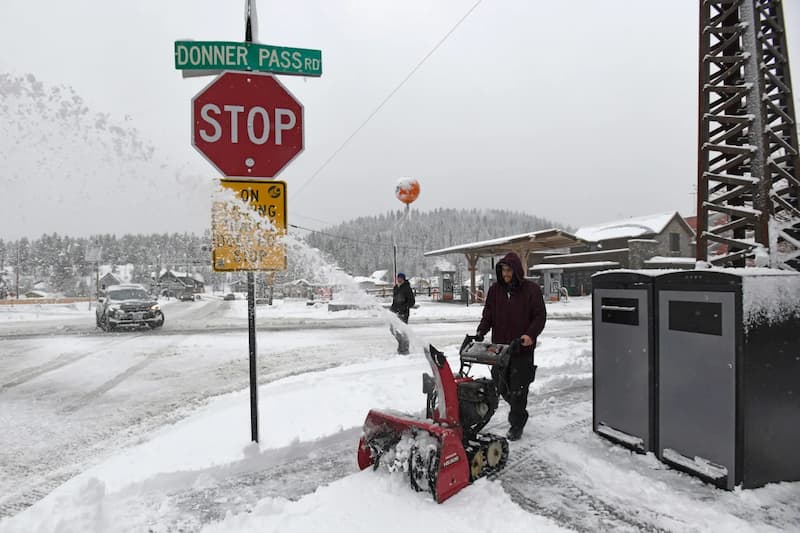


A massive winter storm has descended upon California, bringing with it unprecedented amounts of snow and hurricane-force winds that are set to wreak havoc across the state through the weekend. This powerful storm is poised to deliver California's largest snowfall of the year, posing significant risks to travelers while offering a much-needed boon to the state's water supply and tourism industry.
With wind gusts exceeding 140 mph in the highest peaks of the Sierra Nevada, the storm has already made travel treacherous and will only worsen as the weekend progresses. The National Weather Service has issued warnings for deteriorating conditions and urged residents to hunker down and stay safe. Snowfall rates are expected to reach extreme levels of 3 to 5 inches per hour, particularly along the Sierra Nevada, with a staggering 6 to 12 feet of snow forecasted to bury parts of the mountains in just a matter of days.
The relentless snowfall and powerful winds at high elevations could create blizzard conditions with visibility dropping to near-zero, making travel virtually impossible and posing significant risks to those in the affected areas. Yosemite National Park, under a blizzard warning, has been closed until at least Sunday afternoon, with guests urged to evacuate as the park braces for approximately 8 feet of snow.
Unlike previous storms this winter, snow is expected to fall at lower elevations, impacting areas as low as 5,000 feet with close to a foot of snow forecasted. Strong winds with gusts of up to 60 mph are expected to accompany the snowfall, increasing the potential for dangerous road conditions and travel disruptions. As a result, major roadways like I-80 could face extended closures, making travel across the Sierra virtually impossible through the weekend.
In addition to the immediate dangers posed by the storm, the heavy snowfall is set to provide a much-needed boost to California's critical snowpack. Following a slow start to the winter season, recent storms have helped close the snowpack deficit, bringing levels to 80% of the March average. With the colossal snowfall predicted from this current storm, there is optimism that the snowpack gap could be closed or even exceeded, which will have long-lasting impacts on the state's water resources for the remainder of the year.
As the storm begins to gradually wind down on Sunday, California may see another round of snowfall early next week, continuing to bolster the snowpack and ensure a more stable water supply for the region. This storm serves as a reminder of the unpredictable and powerful forces of nature, underscoring the importance of preparedness and resilience in the face of extreme weather events.