


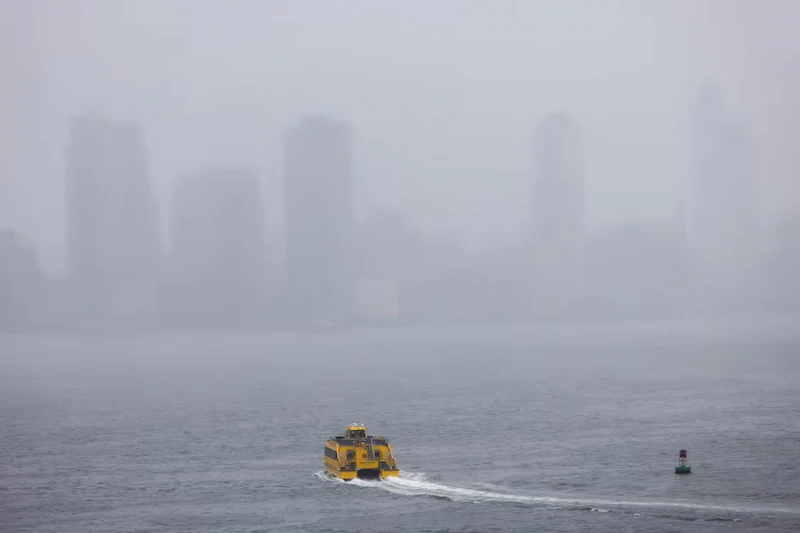


As the U.S. Pacific Northwest reels from the aftermath of a severe windstorm, another powerful weather event, known as a "bomb cyclone," is forecasted to strike the region by Thursday evening. The initial onslaught, brought on by an atmospheric river storm, left a trail of destruction in southwest Washington and Oregon, with images of crushed cars and houses inundating social media platforms. Tragically, the storm claimed the lives of two women in separate tree fall incidents near Seattle, while numerous others sustained injuries.
The repercussions of the first storm are still being felt, with around 260,000 households and businesses across Washington, Oregon, and Northern California enduring power outages. In neighboring Canada, British Columbia's power system suffered damage, leading to 225,000 customers losing power initially, mostly concentrated on Vancouver Island.
Northern California faced relentless downpours, with 11 inches of rainfall and substantial snowfall in higher altitudes recorded by Thursday morning. An additional 5-to-10 inches of rain is predicted to exacerbate the existing challenges. The coastal areas spanning from southwest Oregon to the North Bay region near San Francisco are expected to bear the brunt of the ongoing storm, with wind gusts of up to 65 mph anticipated alongside the looming threats of life-threatening flooding and landslides.
The National Weather Service has issued warnings of potential mud and rockslides, with about a dozen small landslides already reported in northern California. The Sierra Nevada region, including the Lake Tahoe vicinity, could witness an astonishing 5 feet of snow accumulation during the weekend.
Notably, these extreme weather conditions, characterized as bomb cyclones, come about through the rapid intensification of storms within a short timeframe, triggered by the collision of polar and tropical air masses in a phenomenon known as bombogenesis. Meteorologists anticipate the rain and snow to pummel Northern California and southwestern Oregon persistently until Saturday, highlighting the prolonged nature of this challenging weather pattern.