


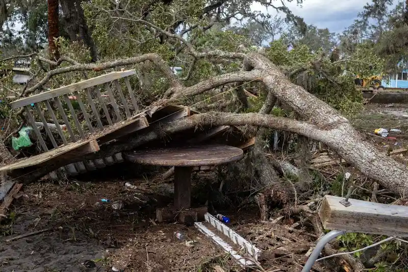


The year 2023 has been an unusually active one for tropical storms in the Atlantic. So far, 11 storms have already formed, including three currently spinning in the ocean. This high activity level has caught the attention of storm trackers, particularly due to the similar pattern being observed in the Pacific. Such simultaneous storm chaos in both oceans is highly unusual and has scientists intrigued.
One of the recent storms, Tropical Storm Idalia, made landfall in Florida as a major hurricane before moving back out into the Atlantic near the coast of South Carolina. Hurricane Franklin, with its 100-mph winds, continues to churn away east-northeast into the deep Atlantic. Additionally, Tropical Storm Jose emerged from a persistent tropical depression but is not expected to last long. When including an unnamed system in January, the Atlantic has already produced 11 storms this year, which is earlier than usual. In a typical year, the 11th storm would arrive by October 2nd. Furthermore, historically, the second major hurricane occurs by September 19th. However, while the storms this year have not been extremely powerful, it is still relatively early in the hurricane season, which runs from June 1st to November 30th.
While climate change is known to intensify hurricanes, it does not fully explain the increase in the number of storms. A part of this rise can be attributed to a more liberal naming convention for storms, as well as advancements in technology. In the past, sub-tropical storms, which are a combination of typical storms and hurricanes, were not given names. However, in recent decades, they have been included in the naming list. Additionally, the improved satellite technology allows for better detection of storms, even smaller ones such as Jose.
What makes this year particularly strange is the simultaneous high activity in both the Pacific and Atlantic. Typically, when one basin is experiencing numerous storms, the other basin tends to be relatively quiet. However, in 2023, hurricanes and typhoons have been raging across both oceans, including a rare strike on California and the presence of Super Typhoon Saola casting a shadow over Hong Kong. Scientists attribute this phenomenon to the record warm temperatures in the world's oceans, which is linked to climate change. The Indian Ocean has also experienced powerful cyclones at the beginning of the year, making it a year of extreme weather events.
In other weather news, Asia has its own storms to monitor. Tropical Storm Haikui is forecasted to approach the northern end of Taiwan as a typhoon over the weekend, while Tropical Storm Kirogi is predicted to graze western Japan next week. The United States is also grappling with extreme weather, with Phoenix setting a record temperature of 116°F on Wednesday, and Dallas experiencing persistent high temperatures. The heat is expected to return to the central and eastern parts of the country in September. Furthermore, India is facing concerns over weak crop output due to the lowest August rainfall since 1901, potentially leading to export restrictions on rice. Finally, after a cool and wet end to August, northern Europe is expected to see higher temperatures over the weekend.
In conclusion, the unprecedented simultaneous storm activity in the Atlantic and Pacific Oceans, along with extreme weather events in other regions, has attracted significant attention. While climate change plays a role in intensifying hurricanes, the increase in storm numbers can also be attributed to factors such as naming conventions and technological advancements. With record warm ocean temperatures, 2023 might become a year that sparks extensive research and analysis in the field of meteorology.