


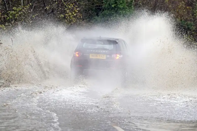


Storm Ciaran, a powerful weather system, is set to strike the southern United Kingdom, causing havoc with hurricane-strength wind gusts and heavy rainfall. The impact of the storm is expected to disrupt rail and air traffic while also resulting in widespread flooding. The worst effects are anticipated to be felt on Thursday.
Meteorologist Alex Deakin from the UK Met Office explains that as Ciaran approaches the southwest, winds will start to intensify later on Wednesday. By Thursday, wind gusts could reach speeds of up to 80 miles per hour, potentially even higher in exposed areas. Although London may not experience the most severe conditions, it will still face damaging gusts.
The World Meteorological Organization warns that Ciaran could bring waves as high as 10 meters in the Atlantic. The exact path the storm follows as it crosses the UK on Wednesday and Thursday will determine the areas most susceptible to the strongest winds and potential damage. France will also face high winds, rough seas, and heavy rainfall. The English Channel's coasts are expected to be hit by the strongest winds.
Ciaran's counterclockwise rotation will lead to heavy rain battering central and northern England throughout Thursday as the storm progresses along the Channel. Several rail services are likely to be affected, including Gatwick Express, Southern, and Thameslink services. Gatwick Express is already experiencing delays due to signaling issues.
Interestingly, the jet stream in the Atlantic, which is boosting Ciaran's power, has also provided a speed boost to airlines traveling from North America to Europe and beyond. Flights are reaching or exceeding speeds of 700 miles per hour, compared to the typical 550 to 600 mph. This allows for quicker transatlantic crossings.
In the US, a cold snap in the southern and eastern regions is expected to halt the growing seasons as temperatures drop. Atlanta, for instance, is forecasted to reach the freezing mark with a low of 32°F (0°C) on Wednesday. Moreover, there is an elevated risk of fire weather across the US Gulf Coast.
In terms of tropical systems, the only active storm is Tropical Storm Pilar, which is moving away from Central America and heading into the Pacific. Today marks the beginning of the final official month of the Atlantic hurricane season.