




Hurricanes in the Atlantic have largely avoided making landfall this month as larger weather systems redirect their paths towards the north. Despite this reassuring trend, the threat to the United States and the Caribbean region remains ever-present.
Two significant factors contributing to this redirection are a low-pressure area over the northeastern US and a weakened high-pressure zone in the Atlantic. These factors act as protective barriers, guiding the storms away from populated areas and out to sea. The low-pressure system has also been responsible for the unusually rainy conditions in the Northeast, resulting in record-breaking precipitation and devastating floods earlier in the summer.
The current weather patterns in the Northeast have created "steering currents" that favor hurricanes curving away from the US, according to meteorologist Jeff Masters. Additionally, the weakened Atlantic high-pressure system has provided opportunities for storms to exploit its weaknesses and change their course northwards.
High- and low-pressure systems play a crucial role in the movement of hurricanes across the oceans. When the Atlantic high-pressure system is strong, it can channel storms originating from Africa towards the Caribbean and the Gulf of Mexico. However, the current conditions are likely to persist for several more weeks, reducing the immediate risk to the US.
Nevertheless, there remains the potential for storms to strike land, warns weather expert Rob Carolan. A weather front moving along the East Coast could stall off the coast of Florida before rebounding towards the Carolinas next week. The National Hurricane Center estimates a 30% chance of this system developing into a named storm within the next seven days.
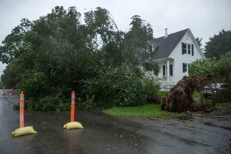
This year's hurricane season has been particularly active due to record-high ocean temperatures. Between August 20 and September 16, the Atlantic basin witnessed the formation of 10 storms, the highest number on record for that period, according to hurricane researcher Phil Klotzbach. While three hurricanes—Lee, Margot, and Nigel—have materialized in the past two weeks, only Lee made landfall with minimal impacts. Nigel is projected to dissipate before affecting any land areas.
Despite the recent respite from hurricane threats, meteorologist Jeff Masters cautions that the hurricane season is far from over. The traditionally bustling month of October lies ahead, and it is too early to declare the "all-clear" for the United States and the rest of the hurricane-prone regions.