


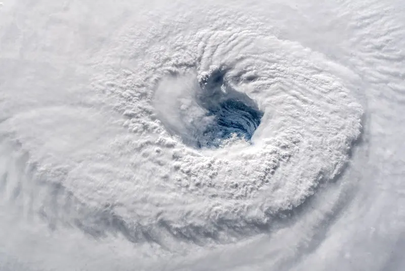


Scientists Raise the Hypothetical Possibility of a Category 6 Hurricane. Category 5 has long been the highest level in the Saffir-Simpson Hurricane Wind Scale, representing storms with winds over 157 miles per hour. However, two prominent scientists, Michael Wehner and James Kossin, argue that the increasing energy available to storms due to climate change warrants the consideration of a new category: Category 6. In their paper published in the Proceedings of the National Academy of Sciences, they propose that any storm with winds surpassing 192 miles per hour should be classified as a Category 6 hurricane.
Since 1980, a total of 197 tropical cyclones worldwide have been classified as Category 5 hurricanes. However, if the Category 6 threshold were applied, five of these storms would have been reclassified. Shockingly, all five of these hypothetical Category 6 hurricanes occurred within the last nine years of the analyzed time period, indicating a concerning trend.
While the scientists' proposal may seem valid from a scientific perspective, it poses a number of challenges when it comes to effectively communicating weather risks to the public. Forecasters, politicians, and emergency crews invest significant effort into crafting clear messages, selecting appropriate risk indicators, and preventing misinformation or unnecessary panic. Introducing the idea of a Category 6 hurricane risks confusion among the public in the event a storm surpasses the current Category 5 threshold.
To complicate matters, the Saffir-Simpson scale has limitations and drawbacks. Originally designed in the 1970s, it primarily focuses on wind intensity and fails to adequately convey other significant risks associated with hurricanes, such as flooding from heavy rainfall and storm surge. In fact, storm surge is responsible for 49% of hurricane-related fatalities, while rain accounts for 27%, compared to wind-related deaths at only 8%.
The inadequacies of the scale were painfully evident during Hurricane Florence in 2018. Though initially approaching the North Carolina coast as a powerful Category 4 hurricane, its wind strength diminished just before landfall, downgrading it to a Category 1. Many residents in affected areas erroneously believed that the storm had weakened significantly, only to be overwhelmed by the catastrophic flooding that followed. This highlights the public's fixation on wind speed as the sole indicator of a storm's severity.
Recognizing the need for a more comprehensive approach, the US National Hurricane Center plans to introduce a revised forecast tool. This tool will emphasize not only wind speed but also other critical factors such as storm surge warnings and watches. In August, the iconic "cone of uncertainty," outlining the potential hurricane track, will be modified to ensure residents along coastlines are aware of the risk of flooding, even if they are located far from the storm's center.
It is important to remember that hurricanes are not limited to a single point of landfall, but rather can have a vast impact over hundreds of miles. The devastation caused by Hurricane Katrina serves as a sobering reminder. Despite making landfall 35 miles from downtown New Orleans, the storm's massive size and associated flooding resulted in significant loss of life and widespread destruction.
In the end, categorizing hurricanes is not just a matter of numbers and labels. The primary concern lies in effectively communicating the multifaceted risks associated with these powerful weather events. As the world continues to face the increasing threat of climate change, it is crucial that we evolve our methods of communication, preparation, and response to ensure the safety and well-being of vulnerable communities.