


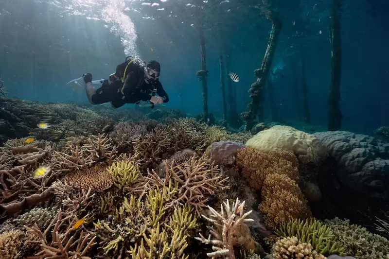


New research conducted by the University of Queensland has revealed that the total area covered by coral reefs across the planet is larger than previously estimated. The most comprehensive high-resolution assessment of corals to date shows that shallow coral reefs span approximately 348,000 square kilometers, which is equivalent to the size of the state of New Mexico. This figure surpasses previous estimates ranging from 154,000 to 301,000 square kilometers. The study provides a more accurate depiction of the distribution and composition of the world's coral reefs, which will aid in their conservation and management.
Coral reefs play a critical role in supporting marine biodiversity, providing a habitat for about 25% of all marine life on Earth. Additionally, they are essential for the livelihoods of approximately one billion people. However, these delicate ecosystems are under severe threat from human-induced climate change. Rising ocean temperatures and increasing water acidity due to climate change are causing mass coral bleaching events and the spread of infectious diseases. As our planet continues to warm, these threats are expected to intensify and become more frequent, putting coral reefs at even greater risk.
Accurately mapping the world's coral reefs is an important step in protecting and preserving them. To accomplish this, the researchers used over 100 trillion pixels of detailed satellite images from Sentinel-2 satellites and Planet's Dove CubeSat constellation. They also incorporated data from 480 different sources, developing a machine learning model capable of classifying reefs at various depths globally. The study mapped a total of 348,361 square kilometers of coral reefs, taking into account both hard surfaces like coral and rock, as well as soft surfaces like sand, rubble, mud, or seagrass. Only a quarter of this area was classified as coral habitat, indicating the presence of high-density hard coral. Seagrass meadows, which are vital for marine ecosystems, covered 67,236 square kilometers.
Moving forward, scientists aim to further enhance the capabilities of this mapping tool by distinguishing between different species of corals. This will help in evaluating a reef's resilience to climate change and its impacts. Preserving genetic diversity is crucial, as it increases the chances of different coral species surviving and adapting to changing conditions.
Previous attempts to map coral reefs on a global scale were limited by the lack of high-resolution satellite imagery. Therefore, these maps were only available at local or regional scales. However, the new map produced by the University of Queensland is publicly accessible through the Allen Coral Atlas and the Google Earth Engine, providing valuable information for conservation efforts and decision-making processes.
Already, the data is being utilized to support conservation initiatives, restore damaged coral reefs, and identify vulnerable areas. Several countries, including Indonesia, Vanuatu, Belize, Kenya, Australia, and Micronesia, have incorporated the findings into their projects. In Fiji, the government is using the maps as a data source to identify coral areas in need of rehabilitation following cyclones. This comprehensive mapping tool serves as more than just a map; it acts as a catalyst for positive change in reef conservation and overall coastal and marine environments.
In conclusion, this groundbreaking research has revealed a larger extent of global coral reef coverage than previously recognized. The accurate mapping of these vital ecosystems will undoubtedly contribute to their preservation and assist in addressing the threats posed by climate change. By utilizing this information, scientists and policymakers can make better-informed decisions to safeguard coral reefs and the countless species and communities that depend on them.